Heat Legend
Introduction
Legends provide valuable information for interpreting maps using colors, shapes, or other identifiers based on data.Move a legend to any position like Top, Bottom, Left Right inside the map.A legend is a key used on a map that contains swatches of symbols with descriptions.
Prerequisites
To Change the Formatting Property on the Geo Map, you need working Datasets with country or state names.
Objective
How to Use Heat Legend Property in Geo Map.
Download Pipeline.zip file from the link given WorldMapDataset.zip
Note
To know more about creating Geo Map Click here
Follow steps to change Formatting of Geo Map in OPNBI:-
- Click on the hamburger icon.
![]()
Click on the Dashboard tab and open Map in edit mode.
The Edit menu box appears as you click on the Map icon. And a widget gets added in content place automatically in the dashboard, As shown in Figure below:
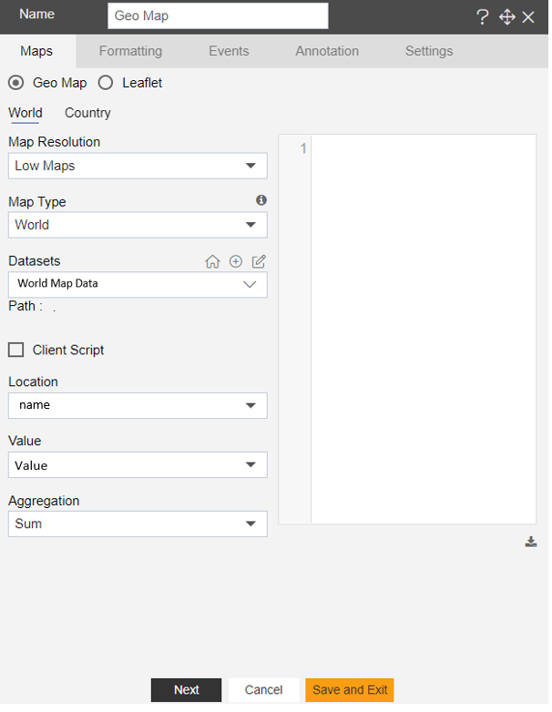
Create a Geo Map with World Map Dataset, as shown in the figure below:
- In Formatting Property click on Maps Series, as shown in the figure below:
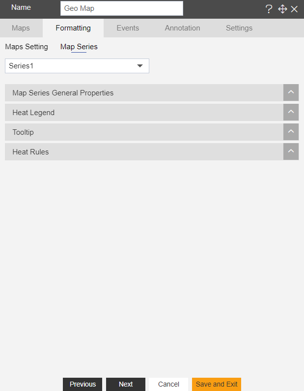
In Maps Series click on Heat Legend.
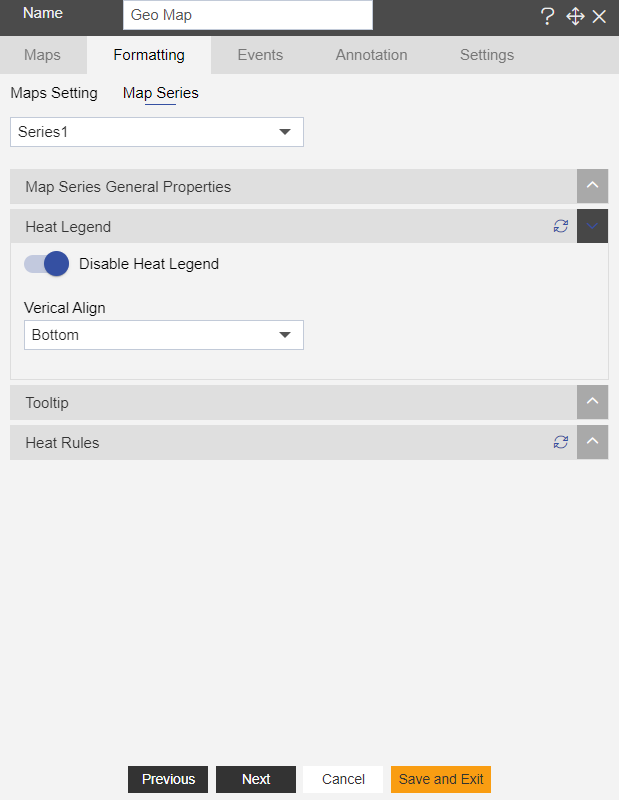
Enter the Following details in Heat Legend:
Toggle Enable Heat Legend
Vertical Align: Bottom
- Fill above details in the edit box, As Shown in the figure:
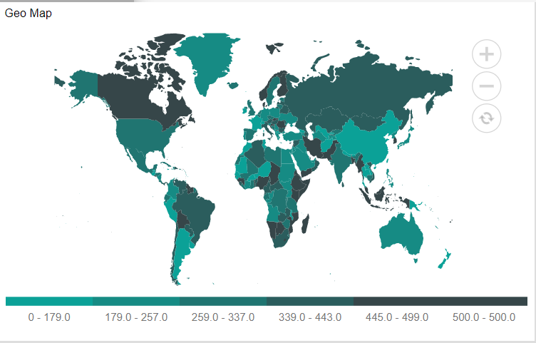
Click on Preview and Save and Exit.
Now, match your Geo Map with the below example, it should look like the figure below:
To know more about other formatting properties of Map widgets click on the below links:-
Heat Rules
Map Series General Properties
Tooltip
In order to understand in detail about other features, click on the following links:-